
Kuna Neighbor Record Sources
No official master list names everyone on a Kuna block. Public systems organize land, filings, registrations, and city business for their own purposes. The parcel map defines the nearby shapes. The assessor supplies one parcel card at a time. Recorder instruments add a dated title trail. Voter and planning records carry stronger limits, and community groups may publish only a contact or meeting notice.
| Block source | What it shows nearby | Access and limits |
|---|---|---|
| Ada parcel GIS | Adjacent geometry, street labels, parcel and subdivision context | Public map or REST layer; not a survey or resident list |
| Assessor card | Primary owner, situs and mailing fields for one selected lot | Address, parcel, or subdivision search; no owner-name search |
| Ada Recorder | Parties to deeds, liens, plats, reconveyances, and heir instruments | Online index plus office copy and older-record fallback |
| Voter report | Limited public registration fields when lawfully requested | No unrestricted street browse; list-use rules apply |
| City planning and GIS | Subdivision, zoning, hearing, and public map context | No indexed Kuna permit or neighborhood-member portal found |
| Regional directories | Past occupants and businesses by address | Library and archive access, with year and boundary gaps |
These records can suggest who owns land around an address. They cannot prove who sleeps there today. A renter, relative, guest, or other household member may never appear. The mailing address may be a post office box or another contact route. Keep assessed ownership and actual occupancy as separate facts.
Map Your Kuna Neighbors
The adjacent-parcel method starts with one known address and expands only to the lots that matter. The live Ada County GIS interface returned an access error during unattended research, so its toolbar names and any buffer command are not assumed. The official ACHD/Ada parcel REST layer still documents parcel geometry, a parcel display field, address labels, query formats, and a 2,000-record service limit.
- Locate the target address or parcel in the county property and map tools. Confirm the physical address and parcel number before moving outward.
- Identify the shapes that share a line with the target or face it across the street. Do not assume every shape on screen belongs to one block.
- Record each visible parcel number, address label, subdivision, or section. Open each parcel separately in Property Lookup.
- Compare situs and mailing fields, then use the Recorder only when a dated ownership step matters. Do not turn the map into a bulk name list.
The map supports geometry, not title. Assessment parcel lines do not establish a legal boundary, fence, or right of access. For a whole named road rather than the immediate radius, the Kuna By Street directory follows the longer address chain.
Open Kuna Parcels One by One
The Ada County Assessor property-record guidance explains the address-first path used for Kuna neighbors.
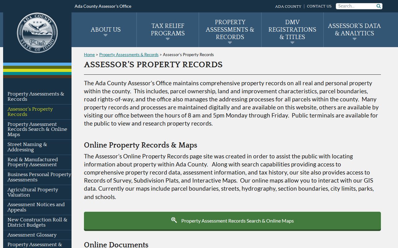
The guidance confirms that owner names cannot be searched online. A user must first find the parcel by full or partial address, parcel number, subdivision, or assessment year, then inspect the card.
A card may expose primary owner, parcel number, physical address, mailing address, legal brief, value, acreage, exemption information, subdivision, and map links. Data and maps update nightly, though a newly recorded deed can take several business days to appear. Search results are reference records, not a professional survey and not proof of occupancy.
For a confusing block, write a compact ledger: parcel number, situs address, mailing city, assessment year, legal brief, and the date checked. That makes city-label or postal differences visible. It also reduces the risk of joining two nearby parcels simply because their street numbers look alike.
Read Kuna Neighbor Addresses Carefully
Situs is the physical location of the parcel or improvement. Mailing is where the assessor sends notices or owner correspondence. The two may match, but they do not have to. A mailing field can point to another residence, a post office box, a representative, or some other notice route. Even when both fields match, the card proves an assessed owner link rather than every household member.
Kuna also has a municipal role in addressing and planning, while Ada County maintains the general parcel and address framework. A new subdivision or condominium receives addresses after final plat recording, and permit work can trigger an assignment. County grid rules, odd and even placement, private roads, or an appeal can change a number. No official source identified one citywide Kuna renumbering year.
When an old and new address do not align, compare the parcel number, legal description, subdivision plat, current city-limit map, and an older directory or newspaper. The legal description often stays useful after a postal or street label changes. That is especially important near a fast-growing city boundary.
Confirm Kuna Neighbor Ownership
The Ada County Recorder property-record page explains which filed instruments can add time and context to a parcel card.
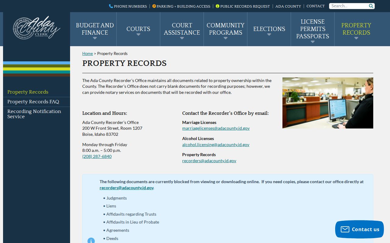
The recorder index accepts party, instrument, and parcel information when available. Its inspected notice covered January 1, 1982 through August 9, 2026. Older instruments, unavailable images, and blocked document types go through the Recorder at 200 W. Front Street, Room 1207, Boise.
Deeds name transaction parties. Plats define lots. Reconveyances, liens, judgments, trust affidavits, and heir orders may explain a change, but none lists every person living on the parcel. Search spelling variants, record the instrument number and date, and request a copy only when the filed text is needed. The index functions like a catalog, not the underlying instrument.
One useful safety feature is Ada County Fraud Notify, which alerts a subscribed user by email when a document is recorded with a registered name.
An alert does not stop a filing or prove it is valid. It is a prompt to inspect the official record and contact the Recorder.
Kuna Block Voter Limits
Idaho voter records do not provide an unrestricted Kuna street browser. VoteIdaho's public online tool is a self-check for a voter, while a separate paid form handles lawful voter-file and absentee reports. Public fields may include name, street or mailing address, county, age, gender, party, optional phone, and participation history. Full birth date, identification number, signature, and the physical registration card are withheld.
Idaho Code §34-437A governs voter information, and Idaho Code §74-120 restricts using a public list to make an unauthorized mailing or telephone list. A registration record is also time-bound. It does not prove assessed ownership or every member of a household. Protected voters may use confidential registration through the state Address Confidentiality Program.
VoteIdaho's totals were refreshed in August 2026, but aggregate dashboard data remains separate from the individual self-check. For a defined county question, Ada County Elections is the correct office. Do not infer a household from a block total or public participation field.
Kuna Neighborhood Directory Reality
No official master Kuna neighborhood, HOA, congregation, block-watch, or member directory was located. City records show that some planning notices use a 300-foot property-owner list, but that administrative notice tool is not a public member roster. Planning and plat files mention developments, including Memory Ranch HOA material, while the city profile names Arbor Ridge, Butler, Crimson Point, Sadie Creek, and Winchester. Those names are geographic search terms, not proof that each has an active association.
| Community source | Useful public contact | What not to assume |
|---|---|---|
| City of Kuna | Planning hearings, maps, notices, and defined records requests | A notice list is not an open neighborhood roll |
| Kuna Library | NewsBank, local news, catalog, and public events | Patron and private member data are not public |
| Kuna Arts and History Center | Exhibits, photos, artifacts, and focused history questions | No searchable current resident index |
| Association or congregation | Its own published office, event, or board contact | Private rosters are not presumed public |
Public civic places can still help people get to know the area. Kuna Library, city parks, the History Center, Kuna Days, Farmers Alley Market, and public meetings generate schedules and notices. Use a group's own current public contact when reaching out. Never ask the city to turn a notice file into a household directory.
Official Kuna Neighbor Tools
Official records and commercial neighbor tools answer different questions. The first category has a named custodian, a date, and a defined government purpose. The second compiles addresses, property links, directory material, and broker-supplied associations into profiles that can be stale or merge people. A polished profile is not stronger evidence than a current parcel card or filed instrument.
| Source type | Strength | Main limit |
|---|---|---|
| Official parcel and deed records | Traceable keeper, parcel, instrument, and date | Shows land and filed parties, not all occupants |
| Official voter or city record | Defined public fields and legal request route | Protected fields and list-use rules apply |
| Commercial compiled category | May collect broad address associations | Can be old, conflated, or hard to verify |
For any fact that matters, return to the assessor, Recorder, Elections, City Clerk, court, or library. Record the source URL and check date. If the official record is wrong, contact that custodian rather than trying to correct every compiled copy first.
Safeguard Kuna Property Names
Ada County's Fraud Notify registration is an insider route worth using for a person's own name. The inspected form asks for a user ID, email, password, name, phone, and mailing address, with optional company and second-address fields. The service sends notice when a newly recorded document uses a subscribed name. It is an alert channel, not a ownership or neighborhood record.
The official Fraud Notify registration page is shown below.
Use the county page directly. An unsolicited request for payment or credentials does not become legitimate merely because it cites a deed or parcel.
If an alert appears, compare the recording date, instrument number, document type, parties, and parcel with the official index. Ask the Recorder for a copy when needed. Property-fraud monitoring can protect a name in the record stream without exposing anyone else on the block.
Protect Kuna Neighbors' Privacy
Renters, children, relatives, guests, utility customers, delivery recipients, and other household members fall outside the official parcel view unless they independently appear in a lawful public record. Utility and delivery records are not a public block directory. Motor-vehicle personal data is protected. Court, vital, juvenile, adoption, and other records may be sealed or confidential.
The Idaho Address Confidentiality Program provides a substitute mailing address, forwarding, and protected voter registration for qualifying survivors.

A substitute address is a safety measure. It should never be treated as a discrepancy to defeat or an invitation to seek the protected residence elsewhere.
When the GIS viewer is unavailable, use the official parcel REST service, the assessor card, Kuna GIS map products, or a focused Land Records or City Clerk request. Do not fill access gaps with guesses or a commercial profile.
Lawful use. Find Kuna neighbors only for lawful personal and civic purposes. Never use block records to watch, stalk, harass, threaten, or harm anyone.