
Walk a Kuna Street by Address
A sound Kuna street directory search separates ownership from occupancy. Ada County Property Lookup finds a parcel from its street address, then shows the primary owner and tax mailing address. Those are assessment facts. The owner may receive mail elsewhere, and other people may live at the situs address, meaning the physical location of the parcel. Follow the address into map, deed, voter, and historical sources before drawing a conclusion.
- Enter the full address, or its number, direction, and street name, in Ada County Property Lookup. Open the best matching parcel card.
- Record the parcel number, situs address, mailing address, subdivision, section, and legal brief. Keep these fields separate.
- Open the official parcel geometry and check adjacent shapes, city limits, street labels, and subdivision context. The map is not a boundary survey.
- Use the parcel number or legal description in the Recorder index. Read grantor and grantee roles to follow ownership transfers.
- For past occupants, consult reverse directories and dated voter or newspaper evidence. Treat each match as a clue that needs a second source.
This order prevents a common error: treating the first owner name as a complete household list. It also keeps a changed street label from ending the search too soon.
Search Kuna Property Fields
The assessor does not allow an online owner-name search. That limit makes the address the main entry point. Results are ranked by relevance, and partial parcel or subdivision searches can widen the set when spelling is uncertain. Data and maps update nightly, though a new recorded instrument may take several business days to reach the assessment system.
| Search mode | Entry format | What to expect |
|---|---|---|
| Address | Full address or number, direction, and street | Relevant parcels ordered by match |
| Parcel number | Full number; M, O, or R plus six digits; S plus four digits | One parcel, subdivision group, or section group |
| Subdivision | Full or partial name | Parcels filed under that subdivision |
| Assessment year | Current or available future year | Useful for newly recorded subdivision parcels |
After opening a card, note the physical-address fields, parcel identifier, legal brief, zoning, acreage, section, subdivision, and map link. A home exemption is a tax clue, not proof of present occupancy.
New Kuna subdivisions can create a timing problem. The assessor explains that a parcel recorded after January 1 may not appear in the current assessment year, while an available future year may already hold it. If a new address produces no result, repeat the subdivision search in both years and then ask Land Records to confirm the legal description. The counter is at 190 E. Front Street, Suite 107, Boise, and is open Monday through Friday from 8 to 5. Staff can also answer property-record questions at (208) 287-7200. This counter route matters when the terms gate, address spelling, or assessment cycle prevents an online match.
Kuna Street Directory Sources
No single roll serves as a complete street directory. Ada County and Kuna keep separate systems for assessment, geometry, recorded transfers, addressing, and municipal files. The table shows what each source contributes and where its limits begin.
| Address record | Official keeper | Useful street facts | Access channel |
|---|---|---|---|
| Parcel card | Ada County Assessor | Primary owner, situs and mailing address, legal brief, subdivision | Free lookup, Land Records counter, email request |
| Parcel geometry | Ada County GIS and Kuna GIS | Shapes, streets, sections, city line, zoning context | City maps, county REST layer, custom-map request |
| Recorded instruments | Ada County Recorder | Parties, transfer date, parcel or legal description | Tyler index, counter, phone, email, paid copy |
| Plats and corners | Recorder, Assessor, Surveyor | Lot, block, subdivision, survey control | Index, PDF help, office originals |
| Municipal planning | City of Kuna | Zoning, hearings, city limits, subdivision context | GIS products or focused records request |
| Older address books | Boise Public Library and historical repositories | Dated occupant and phone-era evidence | Library shelf and copy research |
The city did not expose a public, indexed permit-person database during research. For a permit or code file, send a narrow request naming the address, record type, and date span.
Kuna's municipal request path begins with the City Clerk. City Hall is at 751 W. 4th Street, Kuna, and the clerk's phone is (208) 922-5546. Ask for a defined planning hearing, subdivision file, map product, permit, or council record rather than a broad list of people. Idaho's public-records process permits exemptions and redaction, so a returned file may omit private details. If the requested address lies outside the city line, redirect the question to the Ada County office that holds the parcel, plat, or addressing record. Boise is the county-seat destination even though the property itself is in Kuna.
Map Kuna Streets and Parcels
Kuna GIS and Mapping provides city limits, zoning, future land use, districts, parks, irrigation, utilities, public-hearing tracking, and a custom-map route. The county's live GIS interface returned an access error during unattended research, so it should not be treated as the only map path.
The official Ada parcel layer is the documented fallback. It labels parcels with property address data, supports standard map-data outputs, and caps a query at 2,000 records. Open one parcel at a time for verification. A mapped line is made for assessment and display, not a professional survey.
The manifest also captures the official geometry service used when the interactive viewer fails.
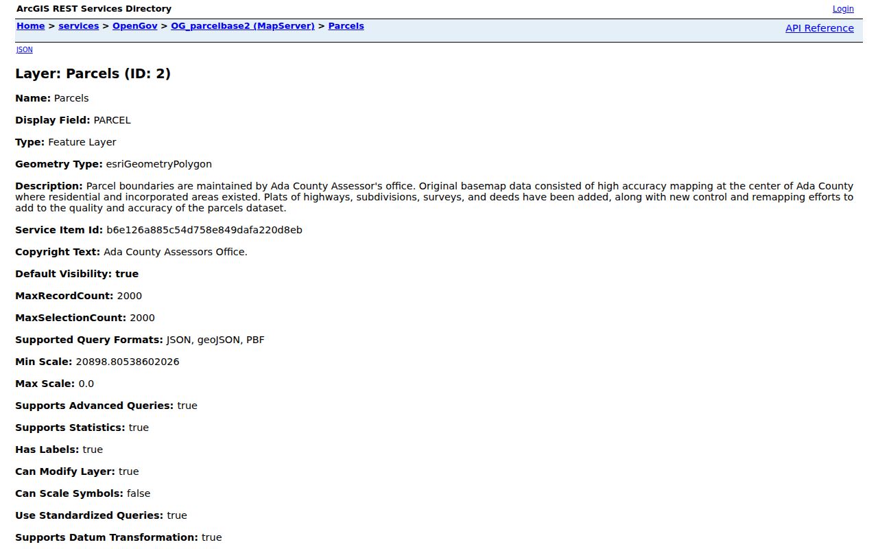
Its shapes locate a likely parcel, while the parcel card and recorded instrument verify the associated land facts.
The manifest capture of the Kuna mapping page shows the municipal route available when the county viewer does not load.
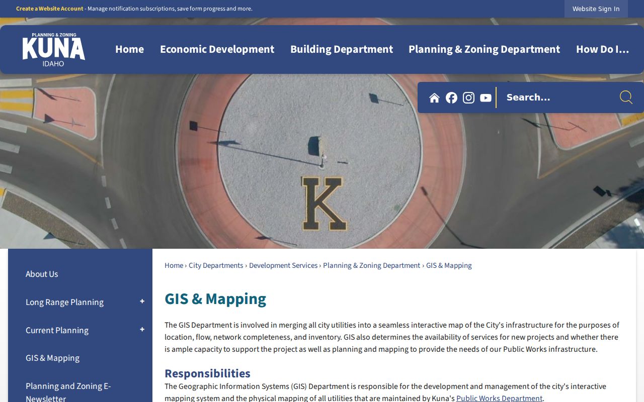
Use that city layer to test jurisdiction and planning context before asking a county record to answer a city-boundary question.
Read Kuna Address Terms
Street research gets easier when four similar terms stay distinct. The legal description is usually the most stable bridge across a changed street name or new subdivision.
- Parcel
- A county-assigned land-record unit. It is a tax and mapping key, not a household.
- Situs address
- The physical address assigned to the property.
- Plat
- A recorded map that creates or describes lots, blocks, streets, and easements.
- Criss-cross directory
- An older directory arranged by street address, allowing an address-to-name search.
Mailing and situs fields can differ. That difference may be routine, so it does not prove that the owner is absent or that the mailing location is another residence.
Trace Deeds Along Kuna Streets
The Ada County Recorder search reports an online index span from January 1, 1982, through August 9, 2026. Search by parcel, party, date, instrument, book and page, grantor, grantee, Public Land Survey fields, or document type. A grantor gives an interest; a grantee receives one. Search spelling variants and confirm that the legal description matches the parcel.
An index row can show an instrument number, recording date, document type, page count, parties, and actions while the image remains unavailable. In that case, contact the Recorder's property-records office at 200 W. Front Street, Room 1207, Boise. Copies cost $1 per page and certification costs $1 per document. Older books also require an office, archive, or catalog check.
Document types can answer different street questions. A deed records a transfer. A reconveyance concerns release of a deed of trust, while a plat defines lots and streets. Judgments, liens, powers of attorney, affidavits concerning trusts, affidavits in lieu of probate, and orders determining heirs are among the records the county says may require a direct copy request. Do not treat the presence of any instrument as proof that a named party occupied the site. Instead, use its legal description and date to connect the parcel to the next record in the chain.
Kuna Street Corners in Context
A parcel that seems out of line may need survey evidence. The Ada County Corner Record help system supports instrument, township, range, section, surveyor, and map-point searches. Its project documents 6,545 corner records and 6,726 images. Original corner records remain with the Surveyor's Office.
The manifest view of the corner-record instructions shows the technical search route.
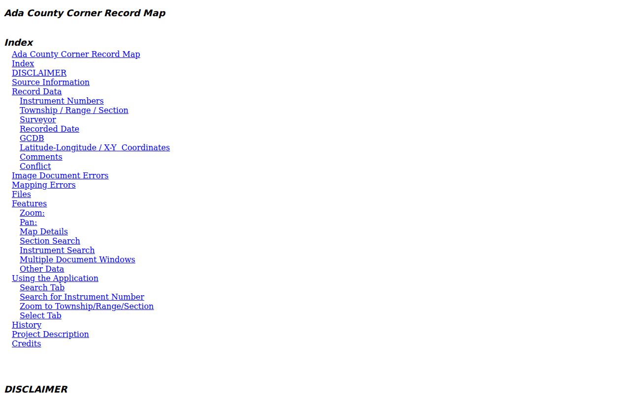
Pair its instrument number and survey grid with the recorded plat rather than trying to fix a boundary from the display map alone.
Kuna Street Names Can Shift
Ada County street naming guidance describes four address grids, a central zero point, and numbers that grow outward. An address may change because numbering is out of sequence, access comes from a private road, odd and even numbers conflict, or an agency requires correction. New subdivision addresses follow the final recorded plat.
No official year for a citywide Kuna renumbering was found. Test old and new spellings, rural-route labels, plats, and the legal description. USPS recorded 270 deliveries moved from 83646 to 83634 effective September 6, 2008, so an old ZIP can also explain a missed address.
The official addressing page captured in the manifest shows where assignments and corrections are explained.
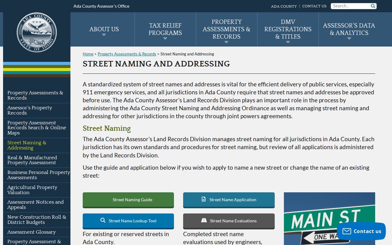
Use this material to reconcile labels, not to infer who occupied the parcel.
Past Kuna Residents by Street
Hill-Donnelly reverse directories held by Boise Public Library cover 1969-70, 1972-91, and 1993-2004. They can turn a dated address into an occupant or telephone-era entry. The historical shelf itself belongs on the Kuna city directories page; use it here only after fixing the street and year.
For an earlier address, compare the 1914 Sanborn sheet, Kuna Herald microfilm from 1914 through 1968, and city records beginning in 1915. Sanborn maps show footprints and use, not every resident. The newspaper may add an obituary, legal notice, or civic event tied to the street.
Kuna's permanent municipal archive has split custody. Online historical minutes begin in 1915, and ordinances and resolutions begin in 1916. Resolution R49-2017 transferred permanent municipal records from 1915 through 2016 to the Idaho State Historical Society. Search the city's current archive first, then ask the state repository about the transferred run when a street, subdivision, official, or public-works reference falls in that period. This two-office path is more reliable than assuming a missing city search result means the record never existed.
Kuna Street Directory Limits
A street directory cannot name every person in a Kuna home. Parcel records focus on ownership and tax administration. Voter data omits people who are not registered and withholds full birth dates, signatures, driver-license numbers, and Social Security digits. The VoteIdaho lookup is a self-check, not an open street browser. Utility, motor-vehicle, delivery, protected-address, and private household data do not become public merely because an address is known.
Idaho Code section 74-120 restricts use of public records to build mailing or telephone lists. Qualifying survivors in the Idaho Address Confidentiality Program use a substitute address and protected voter-registration process. A ZIP match, owner match, or map point also does not prove city-limit residence or current occupancy.
When an online path fails, use the full official fallback chain. The Assessor's Land Records counter can supply a legal description. The Recorder accepts focused copy questions by phone, email, and in person. Kuna can respond to a defined municipal request, while the Boise library and Idaho archives cover older address sources. Give the custodian a parcel number, document type, address variant, and narrow date range whenever possible. That makes a street directory request easier to locate and less likely to sweep in unrelated private material.
Lawful use. Use Kuna address records only for lawful personal research. Never use a street search to stalk, harass, threaten, or harm anyone.